Mt Isa's Poison Water Hole
Recently I was working out in the Isa - one of the great things about the place, aside from some really friendly people and larger than life characters, is its ability to astound with its shear vastness - the Australian out-back is a place that for me holds more than just a little magic.
One little gem is the Poison Water Hole - nope, don't know why it's called that (heavy metal contamination, Uranium, Lead etc may be the answer - but I don't know) ...
If you get the chance yourself to have a look here's some directions to help you on your way: Travelling to Cloncurry from Mt Isa on the Barkly Highway, take the left turn at around 25kms, there's a gate that should be left as you find it (open if open, closed if closed). Follow the track around 4.5kms to the first pit (turn right at the fork). Otherwise continue on another 2.2ish kms to find the poison pit.
PLEASE TAKE NOTE. There is a sign claiming that a mining operation is under-way there, thus the pit itself is off limits. If you choose to ignore the sign and venture forth be aware that mines are dangerous places and you alone are responsible for your own safety right?. So take care okay
 |
Sunset at the Poison Water Hole |
One little gem is the Poison Water Hole - nope, don't know why it's called that (heavy metal contamination, Uranium, Lead etc may be the answer - but I don't know) ...
 |
Abandoned machinery near the first water-hole |
 |
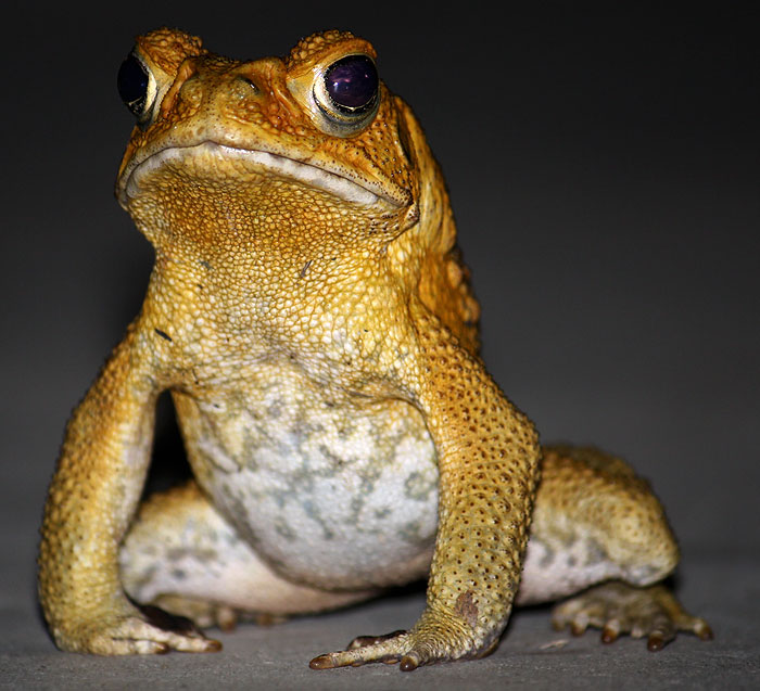
Poison Water Hole - believe it or not there are freshwater turtles in there! |
If you get the chance yourself to have a look here's some directions to help you on your way: Travelling to Cloncurry from Mt Isa on the Barkly Highway, take the left turn at around 25kms, there's a gate that should be left as you find it (open if open, closed if closed). Follow the track around 4.5kms to the first pit (turn right at the fork). Otherwise continue on another 2.2ish kms to find the poison pit.
PLEASE TAKE NOTE. There is a sign claiming that a mining operation is under-way there, thus the pit itself is off limits. If you choose to ignore the sign and venture forth be aware that mines are dangerous places and you alone are responsible for your own safety right?. So take care okay
 |
Credit: Google Maps (edited) |
The land around the present day city of Mount Isa was home to the Kalkadoon aboriginal tribe. The Kalkadoon tribe led a subsistence lifestyle on this land that the white settlers looked at as nothing but poor grazing land, with the odd mineral deposit.
As settlers and prospectors pressed further into their lands the Kalkadoon tribe members set out on one of Australia's most successful guerrilla wars in a fight for their lands. Their success continued until at Battle Mountain in 1884, with what some historians have called a rush of blood, the tribe attacked a fortified position in large numbers and suffered terrible losses. The weakened state of the tribe made their land more vulnerable to the settlers and soon much of the land was lost. Armed patrols chasing the surviving tribe members and poor grazing for the settlers livestock meant hard times for all over the following decades.
A lone gold prospector, John Campbell Miles, stumbled upon one of the world's richest deposits of copper, silver and zinc during his 1923 expedition into the Northern Territory. While camping on the banks of the Leichhardt River, Miles found the yellow-black rocks in a nearby outcrop reminded him of the ore found in the Broken Hill mine that he had once worked at. Upon inspection these rocks were weighty and heavily mineralised. A sample sent away to the assayer in Cloncurry confirmed that Miles had hit the jackpot. He and four farmers turned miners staked out the first claims in the area.
Now the Mount Isa City Council jurisdiction is one of the largest in the world in terms of area and takes in the border town of Camooweal, 188 km to the north-west of Mount Isa and 12 km from the border of the Northern Territory.


Comments
Post a Comment